In climatology, when we talk about satellite missions, this refers to antennae orbiting the Earth that measure certain climate variables. Satellite data gives scientists a novel perspective that they don’t have from land. These missions improve our knowledge of climate processes, including the water cycle. They are essential for understanding and adapting to climate change.
Among the water cycle variables monitored by satellite, only seasonal snow mass was not covered by a specific mission. That’s now a thing of the past, as a Canadian research team has been set up in collaboration with the Canadian Space Agency and Environment and Climate Change Canada. Its mission is to monitor the country’s hydrological cycle with regard to snow mass on the ground.
An ambitious, innovative project
The main objective of the ground snow mass mission is to combine state-of-the-art hydrological modelling and satellite monitoring to improve our hydrometeorological forecasting systems as well as our understanding of the remote sensing of snow.
The project is expected to generate a number of tangible benefits for Quebec and Canada, including:
Improved flood forecasting and preparedness, especially in spring when the snow melts
Better monitoring of species influenced by snow distribution and properties, such as caribou
Support for strategic planning for hydroelectricity and clean energy
Reduced errors in medium-term hydrometeorological forecasts
Support for agricultural planning and drought risk mitigation
Improved water availability for consumption and for maintaining healthy aquatic ecosystems
This mission is currently in the technical planning phase, with its launch schedule still to be confirmed.
Cutting-edge radar technology: dual-frequency Ku-band
The snow mass mission will use a dual-frequency Ku-band antenna. This technology will help inventory the snow mass across the country. The radar will collect data at a resolution of 500 m as it passes over Canada every 5 to 7 days.
The Ku-band is a band of wavelengths between 12 and 18 GHz. It lies in the microwave range of the electromagnetic spectrum.
As its name suggests, a dual-frequency antenna uses two precise frequencies to increase its accuracy.
The two frequencies selected for the snow mass mission (13.5 and 17.25 GHz) are highly sensitive to the microstructure of snow (up to 1000 mm, in theory) and its water equivalent.
This enables dual-frequency Ku-band antenna to provide robust measurements of the snow cover.
Developing a better simulation of the physical properties and processes of snow across Canada
The benefits of the mission on snow mass on the ground will go beyond the data produced by the satellite. The Environment and Climate Change Canada team is looking to develop a modelling framework to complement the data produced by the satellite. This modelling framework will provide data with a high temporal and spatial resolution over large areas and in environments that are more difficult to model, including the Arctic, mountains, prairies and boreal forests.
This will make it easier to simulate changes in the snow cover and generate essential data for water resource management and hydrometeorological and climate forecasts, such as the amount of snow on the ground and the melting date.
For example, numerical models that are under development seek to improve the simulation of internal snow layers to determine their density, height and snow water equivalent. We also want to understand how these characteristics are influenced by factors such as wind, temperature and the interception of snow by vegetation.
Why snow?
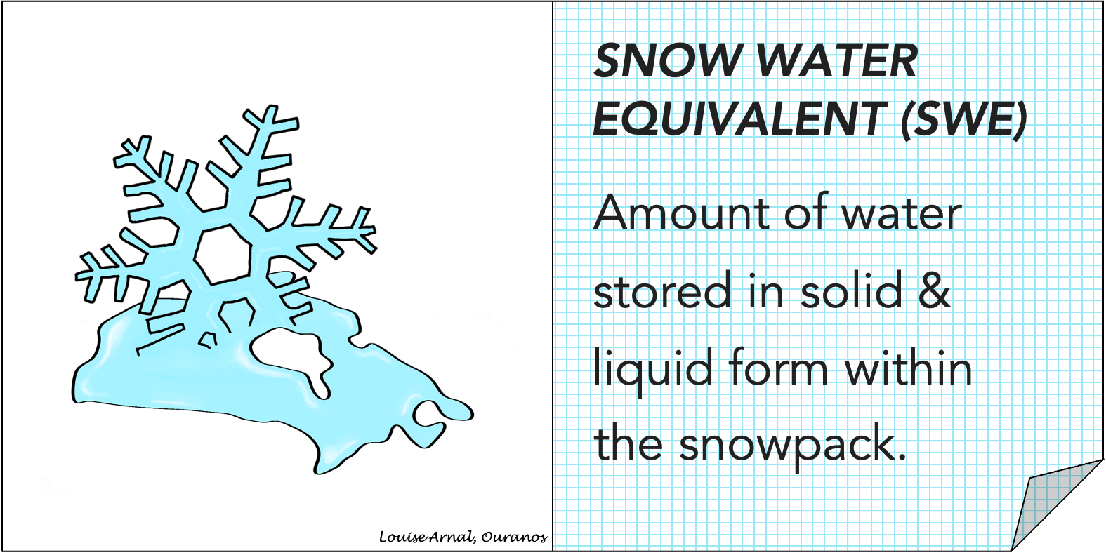
Snow is a huge natural reservoir of water. For that reason, the key variable under study is the snow water equivalent (SWE).

Snow also plays an important role in regulating the climate:
It fills rivers and lakes with water in the spring when it melts.
It helps regulate the Earth’s climate by reflecting solar radiation.
It provides thermal insulation on the ground, protecting plant and animal species from extreme cold in the winter.
It’s also indispensable to many industries and activities in Quebec and Canada, such as hydroelectricity, agriculture, tourism and the supply of drinking water.
To learn more about the mission, you can view these webinars:
If you're interested in using satellite tools for climate modeling, we invite you to follow the AVENIR mission, a project developed at UQÀM and the University of Saskatchewan, in collaboration with the Canadian Space Agency. Funded by the Canada Foundation for Innovation, this project aims to collect data on aerosols, water vapour and clouds.